|
| *****SWAAG_ID***** | 489 |
| Date Entered | 04/04/2012 |
| Updated on | 04/04/2012 |
| Recorded by | Tim Laurie |
| Category | Geological Record |
| Record Type | Geological HER |
| Site Access | Public Footpath |
| Record Date | 29/03/2012 |
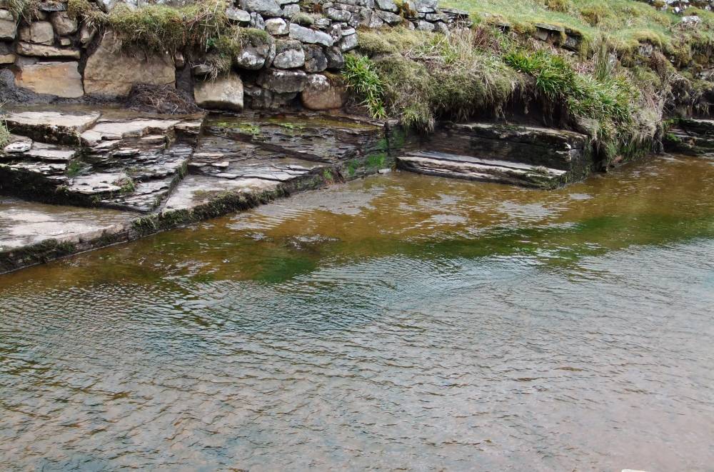
| Location | West Stonesdale Beck |
| Civil Parish | Muker |
| Brit. National Grid | NY 8875 0317 |
| Altitude | 370m |
| Geology | Ripple marked sandstone of Namurian Age above the Main Chert in stream bed. |
| Record Name | West Stonesdale Beck, stream running across ripple marked sandstone. |
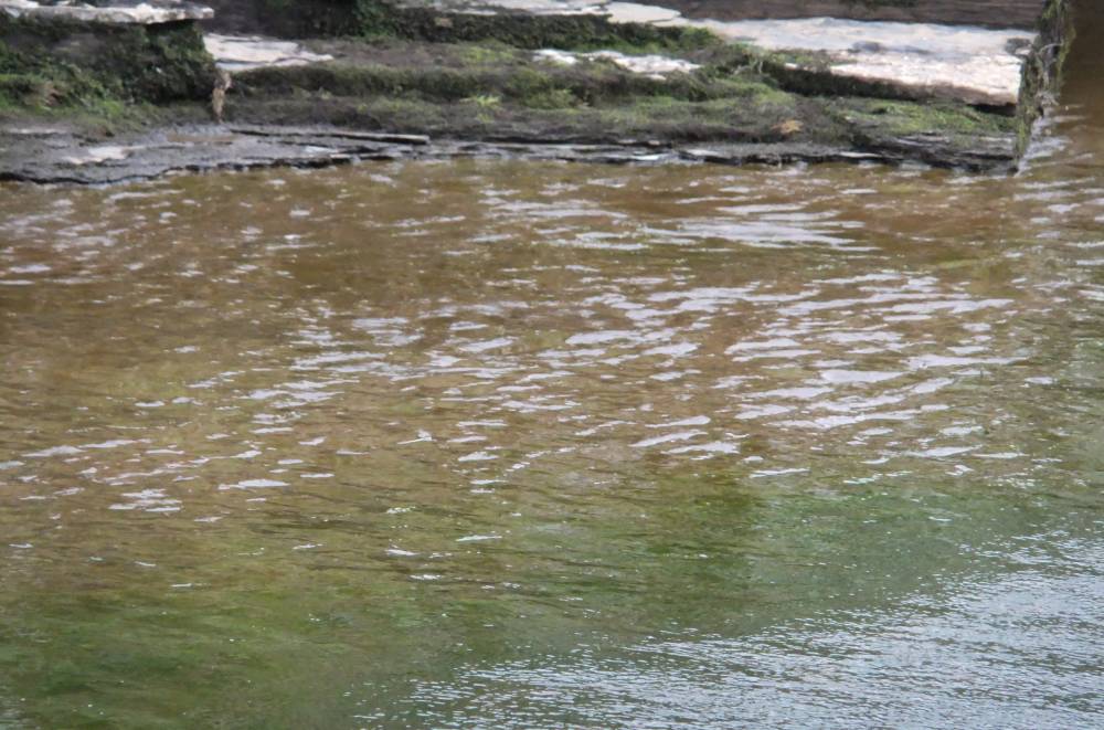
| Record Description | Rippling effects of shallow water running. over ripple marks which in turn were formed by water currents 280-300 Million Years previously |
| Dimensions | See photos |
| Image 1 ID | 2577 Click image to enlarge |
| Image 1 Description | Complex pattern of shallow water rippling over ripples on sandstone made 280-300million years previously. |  |
| Image 2 ID | 2578 Click image to enlarge |
| Image 2 Description | | 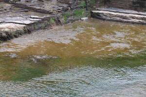 |
| Image 3 ID | 2575 Click image to enlarge |
| Image 3 Description | West Stonedale Beck | 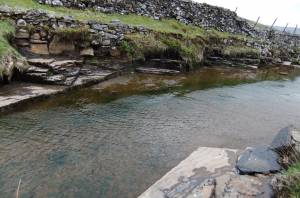 |
| Image 4 ID | 2576 Click image to enlarge |
| Image 4 Description | | 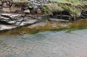 |
| Image 5 ID | 2579 Click image to enlarge |
| Image 5 Description | | 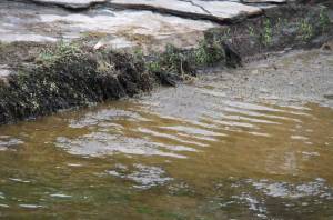 |
| Image 6 ID | 2580 Click image to enlarge |
| Image 6 Description | | 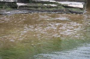 |